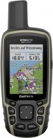
Garmin eTrex 30
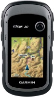 | Expecting restock Portable GPS navigator for hiking. Thanks to the built-in barometer, you can track not only your route, but also your altitude. The device can store up to 200 routes and record up to 2000 waypoints. Two finger (AA) batteries will last for 25 hours of continuous operation. Although if you use the backlight of the screen or often turn on the electronic compass, the operating time may be significantly less. |
Garmin eTrex 30
Type:handheld
Screen size:2.2 "
Resolution:176x220 px
Power supply:non chargeable battery
Working hours:up to 25 h
Weight:142 g
Portable GPS navigator for hiking. Thanks to the built-in barometer, you can track not only your route, but also your altitude. The device can store up to 200 routes and record up to 2000 waypoints. Two finger (AA) batteries will last for 25 hours of continuous operation. Although if you use the backlight of the screen or often turn on the electronic compass, the operating time may be significantly less.
All specifications
Specifications eTrex 30
|
| |||||||||||||||||||||||||||||||||||||||||||||||||||||||||||||
The information in the model description is for reference purposes.
Always clarify the specifications and configuration of the product with the online store manager before purchasing.
Catalog Garmin 2026 - new arrivals, bestsellers, and the most relevant models Garmin.
Always clarify the specifications and configuration of the product with the online store manager before purchasing.
Catalog Garmin 2026 - new arrivals, bestsellers, and the most relevant models Garmin.
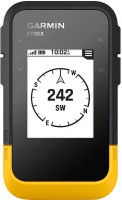
Series Garmin eTrex (handheld)Compare using chart →
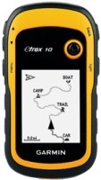
handheld, 2.2 ", water protection IPX7, non chargeable batteries, up to 168 hours of work, 157 g
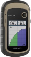
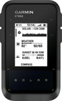
handheld, 2.2 ", memory 8 GB, ANT+, water protection IPX7, non chargeable batteries, up to 25 hours of work, 142 g
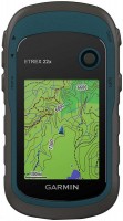
handheld, 2.2 ", memory 8 GB, water protection IPX7, non chargeable batteries, up to 25 hours of work, 142 g

handheld, 2.2 ", water protection IPX7, non chargeable batteries, up to 25 hours of work, 142 g
Additional features sat nav Garmin eTrex 30:
WAAS technology
WAAS (Wide Area Augmentation System) is a system designed to increase the accuracy of satellite navigation instruments. The principle of operation of the system is based on the correction of satellite data using special corrections, which are calculated by base stations installed in the service area of the system.
- WAAS technology
- Photo navigation
- Lunar and solar calendar
- Area calculation
WAAS technology
WAAS (Wide Area Augmentation System) is a system designed to increase the accuracy of satellite navigation instruments. The principle of operation of the system is based on the correction of satellite data using special corrections, which are calculated by base stations installed in the service area of the system.
We recommendCompare using chart →
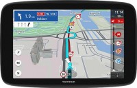
cars, 6 ", memory 32 GB, Live Traffic, Lane Guidance, GPS informer, GSM/GPRS, Wi-Fi, up to 1 hours of work
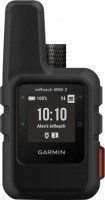
handheld, 1 ", ANT+, water protection IPX7, battery 1250 mAh, up to 96 hours of work, 100 g

cars, 6 ", memory 16 GB, Live Traffic, Lane Guidance, Wi-Fi, magnetic mount, up to 1 hours of work
handheld, 2.6 ", memory 16 GB, ANT+, water protection IPX7, non chargeable batteries, up to 16 hours of work, 217 g
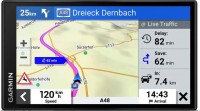
cars, 6 ", memory 16 GB, map update, Live Traffic, Lane Guidance, Wi-Fi, up to 1 hours of work, 175 g
handheld, 2.2 ", memory 8 GB, ANT+, water protection IPX7, non chargeable batteries, up to 25 hours of work, 142 g

cars, 6 ", memory 32 GB, Live Traffic, Lane Guidance, Wi-Fi, magnetic mount, up to 1 hours of work

cars, 7 ", memory 32 GB, Live Traffic, Lane Guidance, Wi-Fi, magnetic mount, up to 1 hours of work

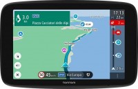
campers, 7 ", memory 32 GB, map update, Live Traffic, Lane Guidance, GPS informer, Wi-Fi, up to 1 hours of work

