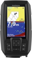
Garmin Adriatic South Sea Marine Chart Veu453s 5602203
 |
Buy Garmin Adriatic South Sea Marine Chart Veu453s 5602203
When you make a purchase through links on our site, we may receive a affiliate commission.
Garmin Adriatic South Sea Marine Chart Veu453s 5602203 | £191.99 |  | |||
Detailed Maps.Unmatched coverage, clarity and detail with new charts that integrate the best of Garmin and Navionics® content.Auto Guidance1 technology calculates a route using your boat´s air and water draft and suggests a route to follow.Depth shading (up to 10 zones), so you can see the depth of your target at a glance.Bathymetric curves displayed every 30cm provide a more accurate description of the bottom structure for wetlands, channels and harbours.Shading of shoals from a user-defined depth to highlight shoals to avoid.Enjoy unparalleled coverage and detail on your trips.Using Garmin and Navionics content, BlueChart g3 Vision charts offer unmatched coverage, clarity and detail.Auto Guidance.Whether you´re fishing or just enjoying a day out on the water, select a location and a route will be suggested based on the depth1 you need to stay in and where to avoid obstacles.Depth Zone Shading.This feature highlights 10 different depth zones, in high resolution, so you can easily locate areas of similar depth.Shallow Shading.This feature highlights shoals to avoid, beyond a user-defined depth.Detailed bathymetric curves.BlueChart g3 charts include bathymetric curves displayed every 30cm, which more accurately describe the bottom structure and thus improve the quality of fishing charts and the level of detail in swampy areas, channels and harbors.Satellite image.Satellite images with overlaid navigation maps give you a realistic view of the surroundings.This is the most realistic view we can offer on a chartplotter and will help you easily enter unfamiliar ports.FishEye View.This underwater perspective displays a 3-D representation of the bottom and bathymetric curves below the waterline.You can add fishfinder data to customize the view.MarinerEye view.This view provides a 3-D representation of the surrounding areas, both above and below the waterline.Aerial Photography.State-of-the-art aerial imagery shows you many harbors and marinas in detail to help you get into them, even if you´re not familiar with them.1 Auto-steer should be used for planning purposes only and is not a substitute for marine sense.
The product description is generated based on data from online stores. Before purchasing be sure to verify all information directly with the seller.
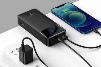
Best Power Banks with Pass-Through Charging10000 mAh power banks capable of operating as chargers.
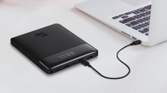
Best Power Banks with Power Delivery for Charging LaptopsCapacious batteries with support for fast charging Power Delivery, which are capable of charging laptops.
How to place an order?How to add store?
Remember that the online store is responsible for the accuracy of information regarding price, warranty, and delivery!
We recommendCompare using chart →
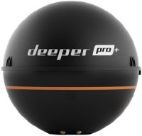
fish finder, up to 80 m, radiation: 70 °, frequencies: 2, rays: 2, wireless sensor, Wi-Fi
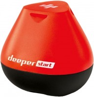
fish finder, up to 50 m, radiation: 40 °, frequencies: 1, rays: 1, wireless sensor, Wi-Fi
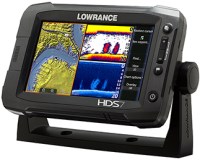
fish finder-chartplotter, colour, up to 1524 m, radiation: 120 °, frequencies: 6, rays: 2, GPS
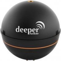
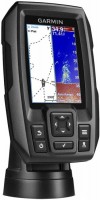
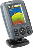
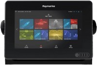
fish finder-chartplotter, colour, up to 274 m, frequencies: 6, rays: 3, GPS, 3D maps, Wi-Fi
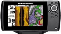
fish finder-chartplotter, colour, up to 450 m, radiation: 180 °, frequencies: 3, rays: 2, GPS

fish finder-chartplotter, colour, up to 1524 m, radiation: 180 °, frequencies: 5, rays: 6, GPS, Wi-Fi
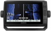
fish finder-chartplotter, colour, up to 580 m, radiation: 120 °, frequencies: 3, rays: 2, GPS