Garmin Mediterranean+black Sea Navionics Vision+™ Marine Charts 010-C1272-00
 |
Buy Garmin Mediterranean+black Sea Navionics Vision+™ Marine Charts 010-C1272-00
When you make a purchase through links on our site, we may receive a affiliate commission.
Garmin Mediterranean+black Sea Navionics Vision+™ Marine Charts 010-C1272-00 | £248.49 |  | |||
ALL-IN-ONE MAPPING SOLUTION FOR GARMIN PLOTTERSAccess detailed maps of coastal areas, lakes, rivers and much more. Integrated content from Garmin and Navionics provides coverage for boaters around the world.DAILY UPDATES TO CARDSThe graphics are constantly being improved with new and changed content - up to 5,000 updates are made every day. The included one-year subscription gives you access to daily chart updates via the ActiveCaptain smart device app.AUTO GUIDANCE+ TECHNOLOGY (AUTO ROUTE)Combining the best auto-routing features from Garmin and Navionics, built-in Auto Guidance+ 2 technology gives you a recommended dock-to-dock route to follow through canals, inlets, marina approaches and much more.CUSTOM DEPTH SCALEThe high-resolution custom depth scale lets you select up to 10 color-shaded options and see designated target depths at a glance.DEPTH LINES UP TO 0.5MTo improve fishing and navigation, depth lines down to 0.5m offer a clear representation of bottom structure to enhance fishing charts and detail in swamps, canals, harbours, marinas and more.SHADING OF SHALLOW AREASTo show a clear picture of shallow areas to avoid, this feature allows for shading to a user-defined depth.ACTIVE CAPTAIN COMMUNITYCommunity Sourced Content Provides useful POIs such as marinas, anchorages, hazards, businesses, and more. Get recommendations from boaters with first-hand experience in the local environment.Add premium features with Garmin´s Navionics Vision+.RELIEF SHADINGThis detailed shading feature 3 combines colors and shadows to provide a clearer and more intuitive view of the bottom structure than using bathymetric lines alone.HIGH RESOLUTION SATELLITE IMAGESHigh-resolution satellite imagery offers superior situational awareness.AERIAL PHOTOGRAPHYSharp aerial and surface photos of harbors, marinas, bridges, piers, slipways, dams, and boating landmarks provide a better perception of surroundings above the waterline.FISHEYE 3D VIEWThis underwater perspective shows a 3D representation of the bottom and contours as seen from below the waterline. Interface with sonar data for a personalized view.MARINEREYE 3D VIEWThis view provides a 3D representation of the surrounding area, both above and below the waterline.
The product description is generated based on data from online stores. Before purchasing be sure to verify all information directly with the seller.
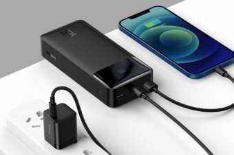
Best Power Banks with Pass-Through Charging10000 mAh power banks capable of operating as chargers.
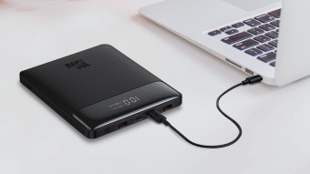
Best Power Banks with Power Delivery for Charging LaptopsCapacious batteries with support for fast charging Power Delivery, which are capable of charging laptops.
How to place an order?How to add store?
Remember that the online store is responsible for the accuracy of information regarding price, warranty, and delivery!
We recommendCompare using chart →
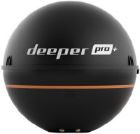
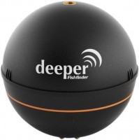
fish finder, up to 80 m, radiation: 70 °, frequencies: 2, rays: 2, wireless sensor, Wi-Fi
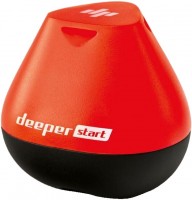
fish finder, up to 50 m, radiation: 40 °, frequencies: 1, rays: 1, wireless sensor, Wi-Fi
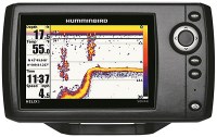
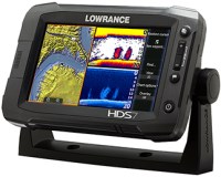
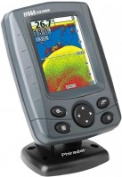
fish finder-chartplotter, colour, up to 1524 m, radiation: 120 °, frequencies: 6, rays: 2, GPS
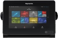
fish finder-chartplotter, colour, up to 274 m, frequencies: 6, rays: 3, GPS, 3D maps, Wi-Fi
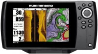
fish finder-chartplotter, colour, up to 450 m, radiation: 180 °, frequencies: 3, rays: 2, GPS

fish finder-chartplotter, colour, up to 1524 m, radiation: 180 °, frequencies: 5, rays: 6, GPS, Wi-Fi
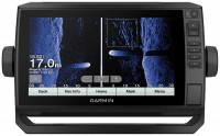
fish finder-chartplotter, colour, up to 580 m, radiation: 120 °, frequencies: 3, rays: 2, GPS